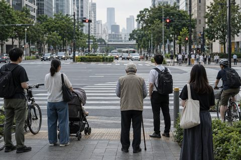
Walking Networks
A Fifteen Minute Neighborhood Begins with Real Walking Routes
The same straight line distance can produce very different walks. Understanding a fifteen minute neighborhood starts with the routes people actually take.
3 min read
Walking Networks

A tidy circle, a complicated day
Drawing a radius around a home makes it seem easy to decide whether schools, markets, parks, and clinics are within walking distance. Real walks follow a more complicated course: gated developments interrupt streets, overpasses force people onto stairs, walls without exits add a six hundred meter detour, and long red lights turn a short trip into an uncertain wait.
A fifteen minute neighborhood depends on whether people can reach its facilities and want to make the journey. Eight hundred meters on a map might mean a pleasant stroll under trees, or four dangerous crossings, two stretches of exposed pavement, and a footbridge that a stroller cannot use. Similar distances can feel entirely different.
Break distance down into real costs
Distance accounts for only part of the cost of walking. A fuller assessment includes time, physical effort, risk, and stress. Ten summer minutes without shade can feel punishing. Steps make the nearest entrance useless to someone pushing a stroller. Waiting through two signal cycles can make people question whether a trip is worthwhile.
These obstacles are especially apparent for children, older people, and people with limited mobility. An adult may hurry through a junction where a child hesitates because approaching traffic is hard to see. A young person may step over a change in level that sends a wheelchair user around the next block. When assessing a neighborhood, record:
- The difference between the actual route and the straight line distance.
- The number of driveways and vehicle entrances that must be crossed.
- The proportion of the route with continuous shade.
- Steps, steep slopes, and the extra distance required for an accessible route.
- Waiting time and the sense of safety at each crossing.
- Places to pause, sit down, or shelter from rain.
Ordinary maps rarely show these details, yet they determine whether fifteen minutes is a realistic promise.
Count facilities that people can use every day
A community center open only during weekday working hours may offer little to commuters. A sports ground requiring a reservation cannot replace a space available whenever someone wants to exercise. Alongside asking what a neighborhood has, ask when it is available, what it costs, and who can enter.
During a neighborhood survey, classify facilities by opening hours, price, and entry requirements. An area that looks well supplied by day may offer very little at night or on weekends. A green space marked as a park may have only one entrance, far from nearby homes. Reliable everyday services tend to offer easy access, dependable hours, and clear entrances.
Start with a resident's day
Trace several ordinary journeys: a child going to school, an older resident going to the market, and a commuter collecting a parcel after work before walking through a park. Connect those routes and examine the obstacles, turns, and stopping points along them.
One person's needs also change throughout the day. A rushed morning favors a direct route. An afternoon with children calls for shade and safety. Walking home alone at night brings lighting, open shops, and other passersby into focus. Observe weekdays and weekends, daylight and darkness, as well as a sunny afternoon.
An assessment you can carry out
Choose a home, school, market, or metro station as a starting point. Invite three people of different ages and physical abilities to walk to the same destination. Record more than total travel time: mark where they slow down, wait, change course, or feel uneasy. Overlaying their routes often reveals shared points of friction.
Improvements can begin with existing facilities. Opening a long closed side gate, adjusting a crossing's signal cycle, adding shade, or installing a bench can bring services within a resident's actual fifteen minute reach.
Think of a neighborhood as a network of paths used every day. Fifteen minutes becomes meaningful when people of different ages and physical abilities can travel those paths comfortably.
Observation tip: Next time you open a map, turn off the distance circles and trace the roads you would actually use. Turns, waits, and detours often reveal where improvement can begin.
Related
-
What Forty Seconds of Waiting Does to a Walk
Walking Networks